Superior Hiking Trail - Traditional Thru-Hike Attempt 2022
“When in doubt, the trail goes up.” - Texas and Mudflap, North Cascade River Trail Register
A Quick Disclaimer
I’d like to take a minute right off the hop here to quickly cover what this post is going to be (and not going to be) about. This will not be a “guide” on hiking the Superior Hiking Trail, or a exhaustive review of gear. This post is going to cover my experience on my 2022 thru-hike attempt of this truly one-of-a-kind trail in northern Minnesota. Another note regarding distances, the distances listed below are from my watch at the end of the day, which probably don’t match the guidebook due to GPS differences, walking around camp, water carries, etc..
I am not an ultralight (or even lightweight) backpacker at this point, so I will not dig into the minutiae of different materials, gear options, or how many grams I was able to save by changing gear. I’ve provided a partial listing of my gear in this post for context, but I’m far from an expert, so please engage other resources when preparing for a trip. Got that out of the way, now on to the fun stuff. :)
Hanson Lake, as seen from the Section 13 segment of the Superior Hiking Trail
The Idea
In early 2021, I was kicking around the idea of attempting a traditional thru-hike of the Superior Hiking Trail (SHT) along the north shore of Lake Superior. On many previous trips, I had seen the blue paint blazes marking the trail in several state parks, and a little research revealed that there was a 310 mile (499km) footpath that stretched from the Minnesota & Wisconsin border to the 270-degree Overlook, near the US-Canada border.
After much hemming and hawing, I figured that a traditional thru-hike (from Martin Road north of Duluth to the 270-degree Overlook) was possibly attainable in about 3 weeks time. The traditional thru-hike foregoes the southern portion from the MN-WI border to Duluth due to the lack of SHT campsites in Duluth, and stretches approximately 250 miles (402km). I approached my employer about a year in advance to ask for an extended vacation (I’m very fortunate to have a job with generous time-off quantities, and I had some unused PTO from the previous year).
I then started piecing together my backpacking kit over the next year, as this was my first long-distance backpacking trip (I’d done a few one or two-night trips, but this was my first with real logistics involved).
Sonju Lake, from Lilly’s Island
Gear Summary
Backpack:
Osprey Kestrel 58
Sleep System:
ENO Single-Nest hammock, UGQ 20°F Bandit topquilt, ENO Vulcan 30°F underquilt, ENO HouseFly rain tarp, ENO Atlas tree straps
Cook & Water Kit:
Snow Peak titanium 700mL cup, MSR PocketRocket Deluxe stove, Sea to Summit long-handled aluminum spork, Ursak AllMitey 20L bear bag, Sawyer Squeeze water filter & backwash kit, 1L Nalgene, 1L SmartWater bottles (2).
Clothing:
46Climbs t-shirt, KUHL Renegade convertible pants, SmartWool merino wool boxers, SmartWool mid-weight long-sleeve shirt, SmartWool mid-weight long underwear, DarnTough CoolMax Hiker micro-crew socks, REI PolarTec gloves, REI XeroDry GTX rain pants, REI Groundbreaker rain jacket, Patagonia nano-puff jacket, Carhartt beanie
Safety, Navigation, & Repair:
Black Diamond Storm headlamp & spare batteries, Suunto compass, Tenacious Tape, AMK first aid kit, Superior Hiking Trail guidebook, Superior Hiking Trail paper maps, Portable Aqua iodine water treatment (backup), Bic lighter, Leatherman Signal multi-tool, Black Diamond Trail trekking poles
Technology:
Zoleo satellite communicator, Garmin Fenix 7X Solar, Anker GaNPrime power brick, NiteCore NB1000 battery bank, Amazon Kindle Paperwhite, various cables
Egge Lake from North Egge Lake campsite
Trip Summary
Day 1 - September 17th, 2022:
Miles: 0
Saturday dawned with heavy rain. I had arrived in Duluth the night before and decided to postpone my start by 24 hours to avoid the pouring rain. Instead, I visited Gooseberry Falls State Park and Split Rock Lighthouse State Park with my parents, who drove up with me to Duluth. I spent Saturday night in Duluth and got an early start Sunday morning. Little did I know that the NorthShore Inline Marathon and Skate Fest was going on that Saturday, what an event!

Day 2 - September 18th, 2022:
Distance Hiked: 12.5 mi (20.1 km)
Steps: 24,773
Campsite: Lone Tree Camp
Strava GPS Track
I caught a taxi to the Martin Road trailhead in Duluth around 7am Sunday morning. As I started my hike, the sun broke through the clouds and started warming the day up. The start of the trail here shares the trailhead and many segments with snowmobile trail routes near Duluth. I met a day-hiker, Jeff, and hiked with him for several miles that day. The trail was very wet from the previous day’s rains, and within a few minutes of starting hiking my pant legs were soaked and my boots were covered in mud. I got my first slip-and-fall of the trip out of the way early, I slipped on a wet boardwalk and slightly bent one of my trekking poles. I was alone in camp that night, except for a red rooster statute next to the firepit at the site.
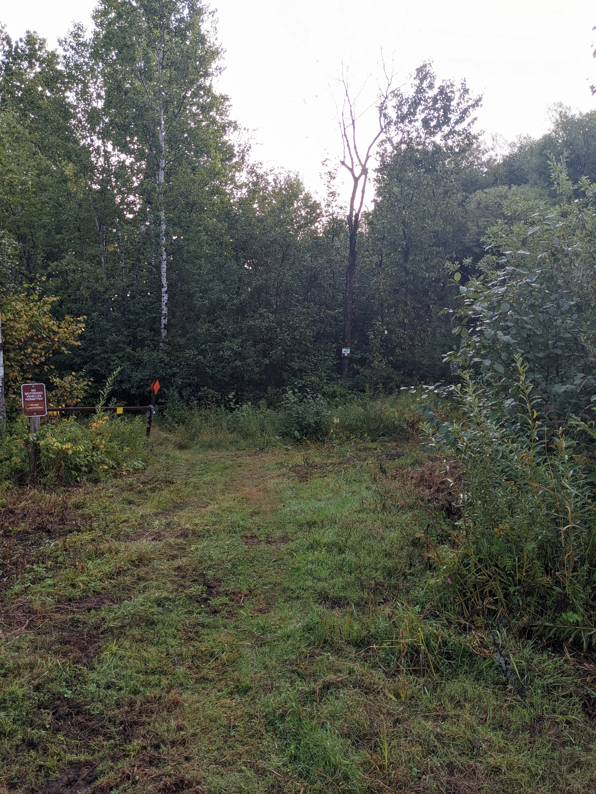
The trailhead at Martin Road, start of a traditional thru-hike.
My camp mate for the night.
Day 3 - September 19th, 2022:
Distance Hiked: 11.5 mi (18.5 km)
Steps: 24,599
Campsite: Fox Farm Pond
Strava GPS Track
The morning dawned sunny and cool. The trail here was along portions of the North Shore State Trail, which is a multi-use trail. In between sections of the NSST, the trail weaved through the forest, passing through several areas that had been logged in prior years. I stopped for lunch alongside what I assumed must be a spring-fed creek since it was so cold and clear (I still filtered the water.) After arriving at camp, I met a SOBO (southbound) thru-hiker who had completed the Arizona Trail and started the Pacific Crest Trail, but was injured shortly into her journey on the PCT.
Camp that night was alongside a beaver pond. The beavers were busy all night long, I heard several tail slaps, as well as a chorus of coyotes far off in the distance. I stretched my water from earlier in the day as long as I could, but I did end up pulling a liter of water from the beaver pond. I filtered and treated it with iodine given how stagnant and scummy the water looked.
I assume this is a spring-fed creek, my lunch spot for the day. Water was awesome here, cold and clear!
Sucker River near the Sucker River Campsite.
Day 4 - September 20th, 2022:
Distance Hiked: 15.0 mi (24.1 km)
Steps: 32,081
Campsite: McCarthy Creek
Strava GPS Track
It was nearly 80° F. I was soaked by midday with sweat, and downed nearly 5 liters of water during the day. Again, the trail winds through several areas that were logged in the last several years.
Some doubt crept into my mind throughout the day about being able to sustain this hike, especially if the weather continued to be as warm (I’m not built for heat), but I pushed on and made it to my goal of McCarthy Creek, which was an beautiful campsite right alongside a little waterfall along the creek. Another night without anyone to share camp with.
First pops of fall color starting to show in the trees!
McCarthy Creek waterfall, right next to camp.
Day 5 - September 21st, 2022:
Distance Hiked: 19.4 mi (31.2 km)
Steps: 38,247
Campsite: Silver Creek Camp
Strava GPS Track
The weather was much better for hiking! It was in the mid to upper 50’s and breezy. I was feeling really good at the Reeve’s Falls Campsite (which was my original goal) and I decided to push on to Silver Creek, which would put me closer to my planned mail-drop re-supply the next day. There were a couple of road walks, and I started having some pain in my right Achilles tendon after a few miles of walking on pavement. One of the road walks was due to loss of trail right-of-way, which was a pretty significant re-route on Gun Club Road and Lake County 301. This re-route also required about a 1.2 mile back-hike to the Silver Creek campsite (which was just before the closed property). This part of the trail, since it was less traveled as a dead-end, was more overgrown and much more muddy.
I was very grateful when I was able to stretch out in my hammock that night and read my book. No one else came to camp, so I had the place to myself for the evening.
Stewart River, alongside the SHT
Reeves Road, near the Reeves Falls campsite
Silver Creek just outside of the Silver Creek Campsite
Day 6 - September 22nd, 2022:
Distance Hiked: 17.2 mi (27.7 km)
Steps: 32,924
Campsite: AmericInn Two Harbors…(more on this later)
I was only a few miles from my first re-supply point, if you are planning on hiking the trail, and need a place to re-supply near the trail in the Two Harbors area, reach out to me on Instagram. At long last, the trail started to climb and I got my first overlook of Lake Superior far off in the distance. I stopped for lunch with a view and while re-packing my backpack, I lost my hammock tarp. I kept the tarp in a small Sea to Summit stuff sack, so it was shaped like a ball. I inadvertently nudged the tarp with my toe while packing my bag and is started rolling down toward the edge of the cliff. I chased after it, but I wasn’t able to catch it before watching it sail over the edge and disappear far below.
I spent a long time looking at the cliff, but there was no safe way for me to get down and search for my tarp. After cursing my stupidity and with rain in the forecast, I turned around to head back to Two Harbors, since I no longer had a shelter for the night.
After a hair-raising walk along the side of Highway 61 (not an experience I’m eager to repeat anytime soon), I arrived in Two Harbors. While walking through town, a car pulled into a parking lot ahead of me, and the driver asked if I was thru-hiking. I relayed my experience for the day, and she pointed me to a hardware store in Two Harbors that might have something that would work. By the time I arrived at the hotel, most of the stores were closed. I grabbed a Blizzard from Dairy Queen which lifted my mood, and arrived at my hotel for the night. After a long (very long) hot shower, I bedded down for the night.
Since I was near an outlet again, I took the opportunity to charge my devices. The Garmin had been running GPS tracks daily and the Zoleo was on and checking for messages for 12+ hours every day for five days straight.
Garmin Fenix 7X: 56%
Zoleo: 73%
My first glimpse of Lake Superior, far off in the distance from the SHT.
Finally! A rocky climb!

My consolation prize in Two Harbors.
Day 7 - September 23rd, 2022:
Distance Hiked: 0 mi (0 km)
Steps: 2,458
Campsite: Home
I called around to every outdoors and outdoors-adjacent store in Two Harbors that morning, but no one had any hammock tarps available. Having anything shipped to my hotel in Two Harbors was going to be cost-prohibitive (weekend hotel room prices are through the roof, $300+/night) and re-calibrating my gear for a tent setup would also be extremely expensive. I decided to come home for a few days, acquire a new tarp, and change out a couple of other pieces of gear. Since I was running behind schedule already, I also needed to reconsider my resupplies and make a plan that would fit with where I had supplies waiting.
A huge thank-you to my parents for swinging up to Two Harbors to bring me home (I had intended to leave my vehicle at home for the whole trip, shuttle back to Duluth, and then rent a car to drive home). After coming home, I picked up a ENO HouseFly rain tarp, and sat down to re-think my re-supply plans. I ended up staying at home until Tuesday, when the Claire Nelson Recreational Center in Finland (my 2nd re-supply point) was open to pick up my hiker box.
Day 8 - September 27th, 2022:
Distance Hiked: 7.9 mi (12.7 km)
Steps: 15,289
Campsite: West Kennedy Creek
Strava GPS Track
This was a short hiking day, mostly due to my drive back to the north shore, and picking up my re-supply box in Finland. I got back on trail at Tettegouche State Park around 2pm. There’s still a re-route for the SHT through Tettegouche, as the swinging bridge near the High Falls is closed due to flood damage from spring of 2022. It’s about a 3 mile detour to use the road bridge to cross the Baptism River.
After crossing the river, the trail started to climb, and I was rewarded with several breathtaking overlooks of both Lake Superior, and the inland vista towards Finland. The Fantasia Overlook was definitely worth the extra distance, and the spur trail wound its way around the hill, giving more beautiful views of Lake Superior. After I arrived at camp, a group of 4 SOBO (south-bound) hikers arrived, and we chatted well into the evening. Kennedy Creek was listed in the guidebook as “unreliable in dry conditions” but was flowing quite strong due to the recent rains.
Mouth of the Baptism River into Lake Superior
Yours truly on the Fantasia Overlook spur
Lake Superior from the Fantasia Overlook spur trail
Johnson Lake, near Kennedy Creek
Day 9 - September 28th, 2022:
Distance Hiked: 11 mi (17.7 km)
Steps: 20,955
Campsite: Leskinin Creek
Strava GPS Track
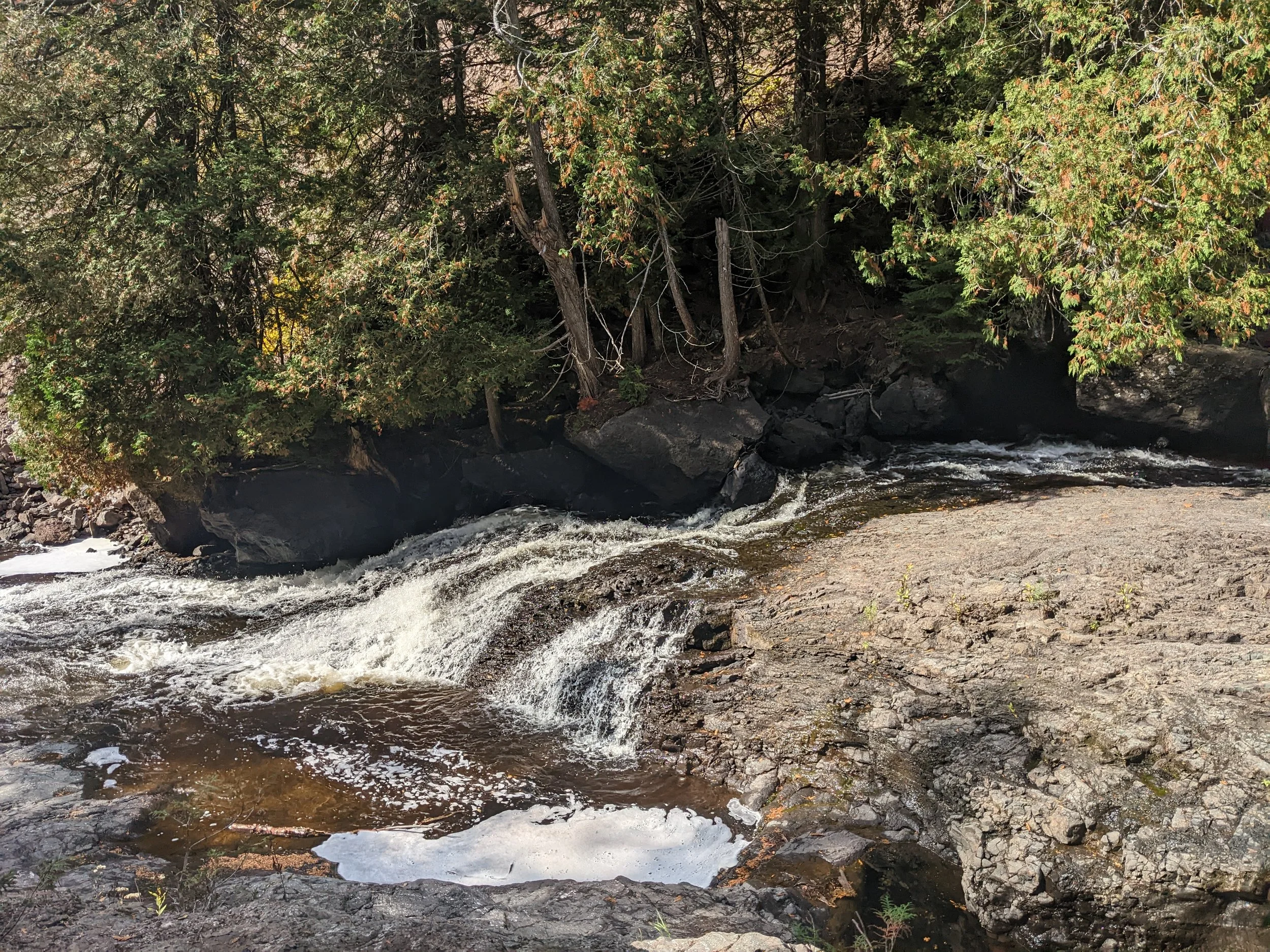
There is only one word to describe this day, incredible. After leaving Kennedy Creek, the trail overlooks Lake Superior and passes through the “Lime Squeezer” a couple of rock blocks. The trail then ascends to Sawmill Dome which overlooks a beautiful valley, popping with fall colors. Climbing after crossing Sawmill Creek, the trail ascends to the Section 13 cliffs, overlooking Hanson Lake. I will have to stay at the Section 13 campsite sometime, which is on top of the cliffs.
At camp that night, I met Erin, a chef from Vermont and we talked gear and hiking experiences for a few hours before turning in for the night. That night it was chilly, but I stayed cozy in my hammock.
Morning sun reflected off Lake Superior
The “Lime Squeezer” on the SHT
Fall colors were becoming more vibrant each day
The vista from Sawmill Dome
Atop the cliffs of Section 13 on the SHT
Boardwalk over the beaver pond on Sawmill Creek
Day 10 - September 29th, 2022:
Distance Hiked: 14.1 mi (22.7 km)
Steps: 25,358
Campsite: Aspen Knob
Strava GPS Track
A significant chunk of the hike was alongside the east branch of the Baptism River, which was a welcome treat. Along with the river walking, came a lot of cedar roots which proved to be slippery and made footing rather tricky. I nearly missed a turn after crossing Blessner Creek, there’s a connection to the NSST here, and the SHT turns right immediately after crossing the bridge, rather than continuing straight onto the NSST. Another highlight of this segment was Sonju Lake, and Lilly’s Island. There’s a trail register on Lilly’s Island, and I enjoyed a break on the rocks gazing out into the lake.
I spent the night at Aspen Knob Campsite just outside of George H. Crosby Manitou State Park. I met Andy (trail name Ole) and Matt at camp that night. We sat around the fire and enjoyed conversation well into the evening.
In the future, I wouldn’t suggest this campsite as a first choice, as it is right next to a logging road and got pretty noisy early in the morning.
More maples along the trail made for more colors
East fork of the Baptism River, small waterfall
Lilly’s Island boardwalk on Sonju Lake
Sonju Lake from Lilly’s Island
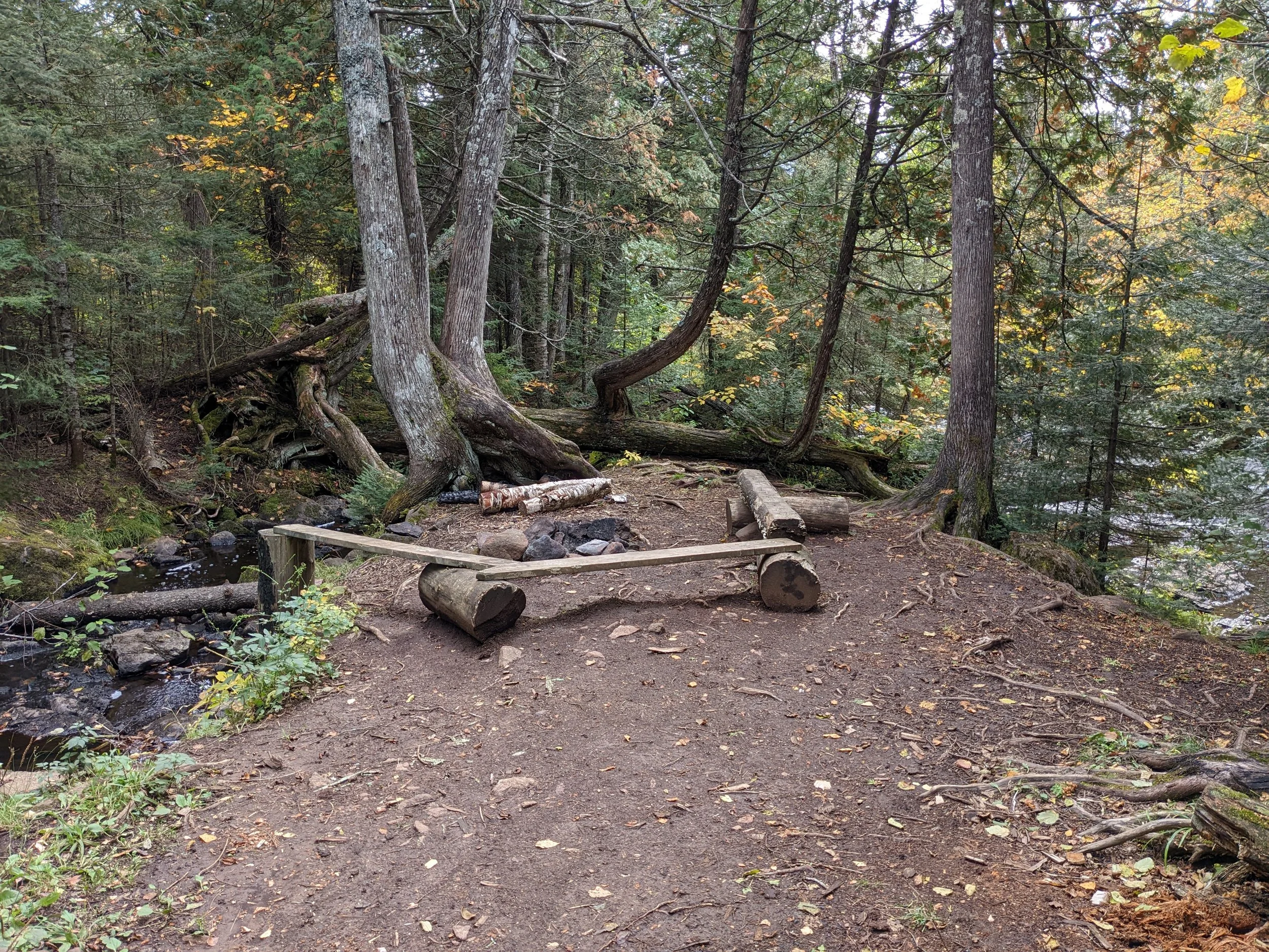
Blessner Creek campsite, nestled between the east branch of the Baptism River (right) and Blessner Creek (left)
Day 11 - September 30th, 2022:
Distance Hiked: 16.4 mi (26.4 km)
Steps: 24,597
Campsite: Dyers Creek
Strava GPS Track
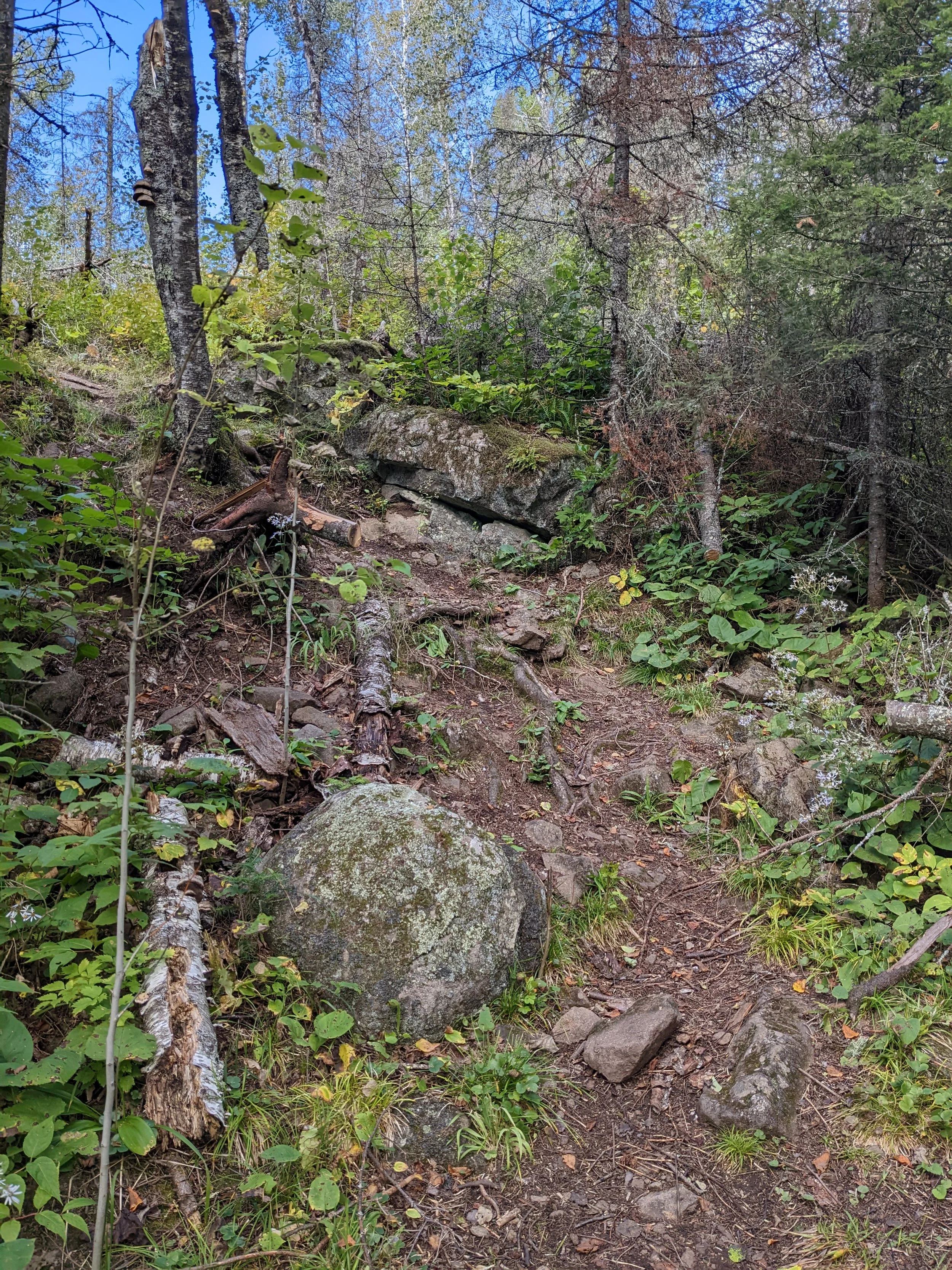
I was awoken by logging trucks and a couple of large groups coming down the trail early in the morning. Each group had big packs, flags, and a bunch of gear (and I mean, a LOT) with them. I broke camp and headed on to Crosby Manitou, to tackle the elevation changes around the Manitou River early, while my muscles were still fresh. I have hiked Crosby before, but I had not descended to the river bridge, crossed, and ascended the west side. I slowly picked my way down the east side of the river, careful with my footing on many rocks and roots, and then chugged slowly up the west side, which was mostly bare soil in a conifer stand. The bridge across the river provided an awesome vantage point to photograph a small waterfall, and take a brief breather before hauling up the other side.
After clearing Crosby Manitou, and crossing the Caribou River, the trail ascended again to the lake side of the hills. The trail flattens out significantly along a ridge above Lake Superior, so I made good time, and crossed a small covered bridge over Crystal Creek (which was dry under the bridge). I arrived at Dyers Creek and set up camp, an hour or so later, a small group of hikers that had started at Caribou Falls set up and we chatted briefly, but I was pretty beat, so I retired to my hammock early.
Part of the descent to the Manitou River
Rocky and rooty footing throughout Crosby Manitou
Small waterfall on the Manitou River
Crystal Creek covered bridge (creek was dry when I passed).
Near Ruffy Lake, the colors are getting better and better the further north I go!
Day 12 - October 1st, 2022:
Distance Hiked: 16.7 mi (26.9 km)
Steps: 27,643
Campsite: Springdale Creek
Strava GPS Track
Leaving Dyers Creek, I hiked on to the Cross River, which passes through Schroder. There were a number of campsites alongside the river, but it was far too early in the day to stop. There are a couple of places on the SHT that are “backcountry campsite deserts” where there is significant distance to the next campsite (8 miles in this case). There are campsites in Temperance River State Park, but they are all reservable, and full for the day that I would be passing through. My re-supply box was waiting for me in Tofte, and the next campsite would require a little back-hike to get into Tofte the next day. After pondering my options for the night, I crossed the bridge at Cross River and continued on to Springdale Creek campsite.
Hiking through Temperance River State Park was beautiful, although there were many people in the park since it was a Saturday. Climbing slowly up to Carlton Peak gave several glimpses of the craggy summit. Over and over again, when I saw the rocky summit poking out the trees, I thought “There’s no way the trail goes all the way up there.” I was sure wrong! While climbing toward Carlton Peak, the trail had a couple of rock scrambles, but was not nearly as technical and difficult as I expected. The short spur to the summit was gorgeous. There’s the foundation of an old fire tower here, and sweeping overlooks of Lake Superior and the Temperance River valley.
After climbing down from Carlton Peak, the trail crosses the Sawbill Trail, and intersects with several mountain biking trails before coming to Springdale Creek, and the short climb up to the campsite. The bridge over Springdale Creek was damaged and marked as closed, so a quick rock-hop was in order.
Tower Overlook, near Fredenberg Camp
Cross River, near the South Cross River campsite

Temperance River gorge
The view from atop Carlton Peak
Atop Carlton Peak
After crossing the Sawbill Trail, there were many more maples!
Day 13 - October 2nd, 2022:
Distance Hiked: 11.1 mi (17.9 km) - Net trail distance, 0.
Steps: 21,041
Campsite: Springdale Creek (wait, what?)
Strava GPS Track
I re-supplied in Tofte on October 2nd. Given the campsite situation from the day before, I ended up back-hiking about 1.6 miles on the trail, then another 2.7 miles on the Sawbill Trail into town. Going down into town was easy, it was all downhill. :) I was passed by several guys on roller skis, which looked like an absolute blast racing down the hill into town!
I picked up my re-supply box at Sawtooth Outfitters and quickly shoveled the fresh food into my pack. I took a short jaunt up Highway 61 to the Holiday gas station, and picked up the one thing that I had been craving for days…gummi worms. I bought a 1 pound bag, and I’m a little ashamed to admit that I finished the bag by the end of the day.
The hike back up the Sawbill Trail was lengthy, it wasn’t particularly steep, but it was a very long, steady grade. After arriving back at the Sawbill Trail trailhead, I decided to stay at Springdale Creek again, and try to dry out some of my gear which wasn’t drying very well overnight. I arrived back at camp early in the afternoon and set up again. The campsite was among a maple stand, which was aflame with color.
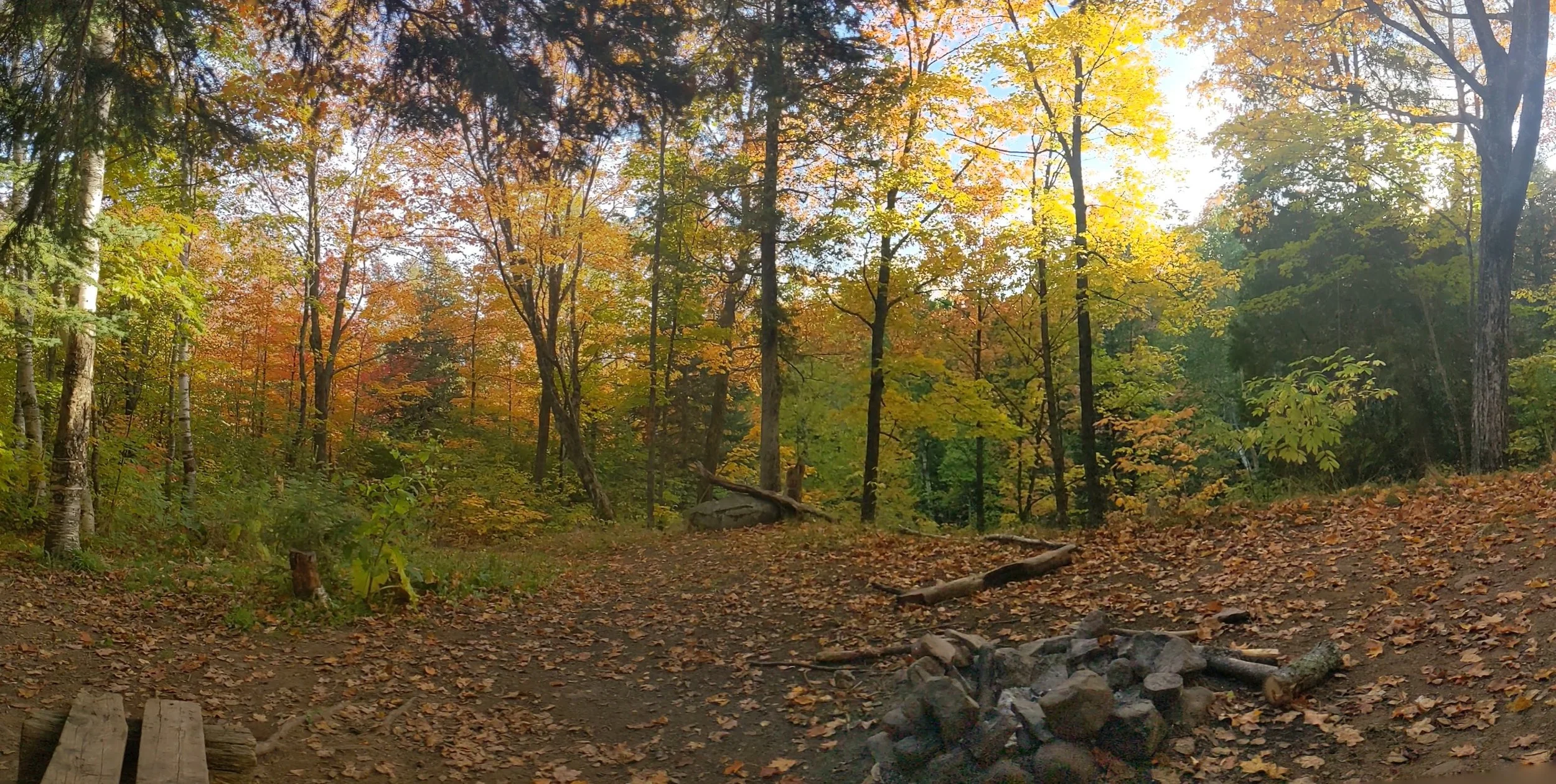
Springdale Creek campsite, among the maple trees
Day 14 - October 3rd, 2022:
Distance Hiked: 13.8 mi (22.2 km)
Steps: 22,771
Campsite: East Poplar River
Strava GPS Track
The day started with some on and off light rain. After a couple of hours, the sun emerged and warmed into the mid-60’s. I realized that I need to figure out better ventilation on my pack, my shirt, and subsequently my shorts, were soaked within a couple of hours of hiking. The night before, I laid out a plan to get to the Gunflint Trail, which was my new goal given the amount of time that I had remaining before my shuttle back to Tettegouche.
The highlight of the day was the Lutsen area and the Poplar River. The climbs up Moose Mountain and Mystery Mountain were rewarded with wonderful overlooks. Crossing the Poplar River was almost like something out of a movie, the river valley is absolutely breathtaking. At camp that night, I met Ellie from Connneticut, and we had a wonderful conversation about gear and hiking in general.
The view from atop the south end of Moose Mountain.
Poplar River valley
Poplar River, near the West Poplar River campsite
Day 15 - October 4th, 2022:
Distance Hiked: 12.7 mi (20.4 km)
Steps: 17,383
Campsite: Camp Creek
Strava GPS Track
It was another perfect hiking day, and much of it was among acres and acres of maple stands. The trail was traveling over mostly rolling terrain, with switchbacks for some of the steeper climbs. Lots of mud and roots along the section near the Poplar River, where there were a number of trail structures affected by the spring floods. I stopped for lunch at Spruce Creek campsite, which looks like an awesome place to camp, set among some giant spruces right next to the water.
The fog that hung around the Sawtooths gave them an ephemeral look. Leading up to Cascade River State Park, there was a stretch of trail with overlook after overlook, which definitely was worth stopping at each one.
While I was approaching camp, the bridge on Indian Camp Creek was damaged and closed, so I climbed down the bank. As I was stepping across, I lost my footing on a slick rock and fell sideways into a pool in the creek. After getting myself out of the water, and finding that my pack hadn’t gotten wet, I stopped to filter some water. I met Out & About, a SOBO hiker, and we had a short conversation over the creek. After finishing with my water, I hiked up to camp for the night, which I shared with one other NOBO hiker that was headed to Cascade Lodge the next day.
Poplar River
Lake Agnes
Caribou Lake
Overlook of the Sawtooths from south of Indian Camp Creek
Day 16 - October 5th, 2022:
Distance Hiked: 13.4 mi (21.6 km)
Steps: 18,056
Campsite: North Bally Pond
Strava GPS Track
It was my last full day on trail. As I hiked during the day, I thought about all the ups and downs (some figuratively, many literally) of this trip, and the fact that I kept moving, even when it seemed like I wasn’t going to be able to take another step, I still kept moving. Telling the voice in my head to shut up was incredibly empowering, and realizing that I was capable of making this journey. I’ve climbed mountains (or at least what qualifies as mountains in the upper midwest), wound through valleys, and come much further than I thought I could.
The day started by hiking through Cascade River State Park, which is one of my favorites along the north shore. Approaching Lookout Mountain from the south was much easier than climbing all the switchbacks from the park side! Due to a bridge closure on Cook County Road 45, I took the east side of the Cascade River loop (technically a spur trail, but it was the recommended reroute from the SHTA.) Along the east side of the river, there were some trail structures that were aging, some missing ties on downhill slopes, and especially near the northern end of the spur, a lot of mud. I was rewarded with some awesome views of the Cascade River, and the “hidden falls” near the road crossing. Just north of Cook 45, I came across some wise words written in the North Cascade River campsite trail register from “Texas” and “Mudflap”: “When in doubt, the trail goes up.”
When I was nearly at camp for the night, I came across a trail crew that was building a new boardwalk a little bit up the trail. I thanked them for their work, and look forward to using the new boardwalk tomorrow.
The view from Lookout Mountain is always amazing!
Hidden Falls on the Cascade River
The Cascades on the Cascade River
Just below Hidden Falls on the Cascade River
Day 17 - October 6th, 2022:
Distance Hiked: 12.4 mi (20 km) - 7 miles to the Gunflint Trail, remainder is hike into town and walking around Grand Marais
Steps: 22,118
Campsite: Best Western Plus, Superior Inn Grand Marais
Strava GPS Track
Overnight it rained, and a cold front was coming through resulting in a fair amount of wind. I was sheltered in my location in the campsite, but I could hear the wind shaking the treetops high above. The on and off rain drummed my rain tarp all night. Around sunrise the rain stopped, and the sun peeked out from the clouds. I packed up camp, and set out on the trail to my destination.
The segment from Bally Pond to the Gunflint Trail is remarkably flat, and I made excellent time, nearly 3 mph (depending on terrain on the rest of the trail I typically was between 2-2.5 mph) the whole way. Before I knew it, I was descending toward the Gunflint Trail. I found myself slowing down, wanting to savor these last few minutes on the trail. Slowly, I picked my way down the embankment to the pavement. I paused for a moment on the road shoulder before stepping onto the Gunflint pavement, and a bittersweet feeling washed over me. I was here.
I crossed the road and started the walk down to Grand Marais. Once I got into town, I stopped at a laundromat, washed my hiking clothes and quilts, and then wandered down to the waterfront while I was waiting for check-in time at my hotel for the night. That night, I found a awesome flatbread pizza and a cold beer from Voyager Brewing to celebrate.
Day 18 - October 7th, 2022:
Miles Hiked: 0
Steps: 5,154
Campsite: Home
I caught a ride with the Superior Shuttle Service from Grand Marais to Tettegouche to pick up my truck and drive home. I had a wonderful conversation with my shuttle driver, who was a retired school teacher. Big shout-out to Superior Shuttle for their excellent service!
I was extremely impressed with the battery life on two of my devices, neither of which I actually charged during this segment, my Fenix 7X was at 26% battery, and my Zoleo was at 32% battery. The Fenix was running GPS tracks for 5-8 hours every day, and the Zoleo was turned on and checking for messages hourly for 12+ hours each day.
All-in, I hiked just shy of 200 miles in 17 days, and I will be back to finish up the two segments that I have left to complete the trail. I can’t wait to set foot on 270-degree overlook at the end of this journey.
Final Thoughts
This trail was certainly challenging, elevation change is significant through many sections. I would do this hike again in a heartbeat. This was one of the most incredible experiences, getting to take the time to slow down, simplify my life, and enjoy the fact that I was carrying everything that I needed to exist on my back. I fortunately experienced no major injuries (a cut-up knee from my fall into Indian Camp Creek was the worst of it), and had no lasting pain while hiking.
Would I recommend this trail? Absolutely. Give it the time it deserves, and you won’t be disappointed. There are many incredible places, and wonderful, kind people along the way.
I have a ton of notes on things to improve for next time, but this is not the last backpacking trip for me. The remaining segments of the trail (about 60 miles) and other trails (maybe the BRT and/or the Kek) are calling.
Until next time, hike on!
-Scout